


Partners in the Spotlight
Selected integrations
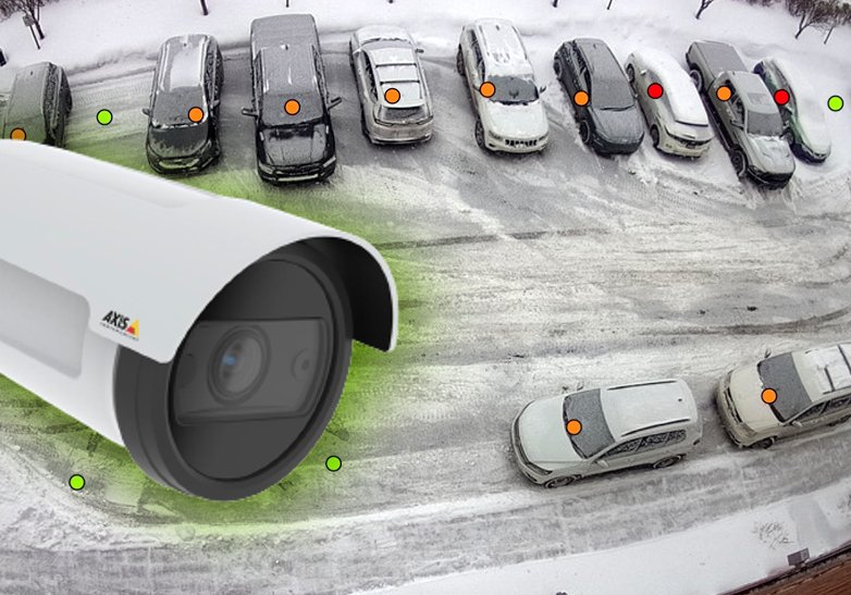
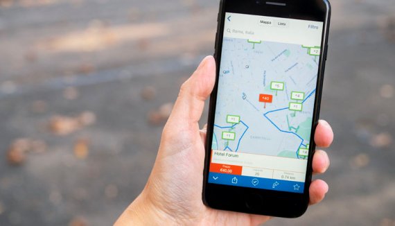
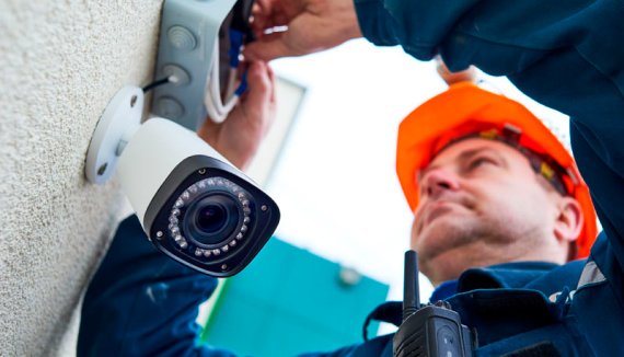
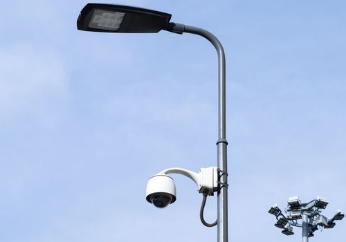
AXIS ACAP - Parquery in-camera
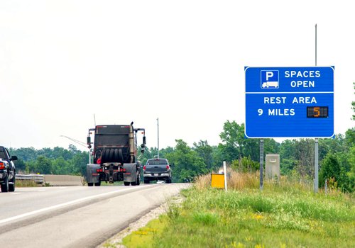
Fotokite - Parking & Traffic Surveys
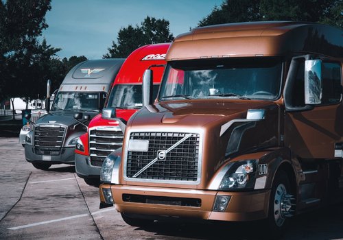
Parquery works with ANY camera


Selected integrations
AXIS ACAP - Parquery in-camera
Fotokite - Parking & Traffic Surveys
Parquery works with ANY camera

Photo: https://www.tredz.co.uk
Where are safety-critical hotspots?
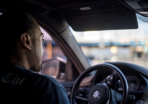
What driver behavior leads to accidents?
How do crashes and near-collisions happen?
Which are the preferred routes for cyclists?
Are trucks following the recommended paths?
Where do pedestrians encounter obstacles?
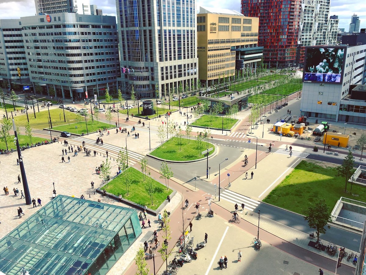
How does each stream of road users circulate through the city?

Where are the bottlenecks?
Where do we need ‘green waves’ or diversions?
Which areas are impacted by air pollution?
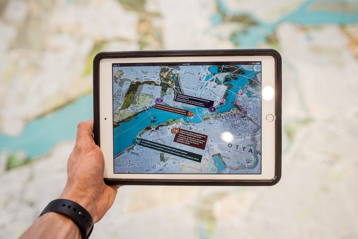
Gather the data for a Sustainable Urban Mobility Plan (SUMP).
What do we want our transport future to look like?
Which groups of road users favor what routes through the city?
How and where do we need to protect vulnerable road users better?
How can we promote mobility modalities other than individual cars?
Where are potential conflicts between user groups?
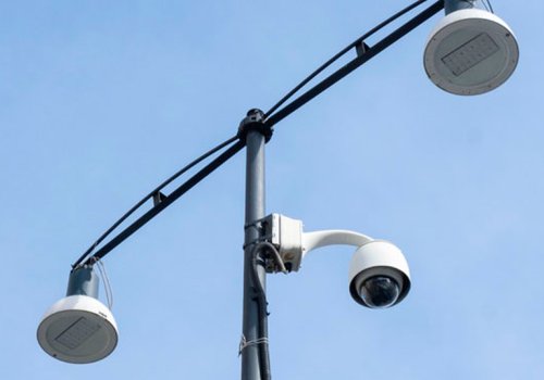
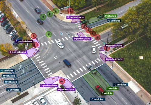
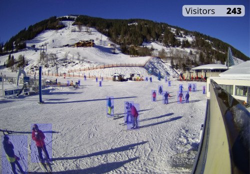
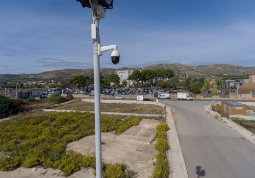
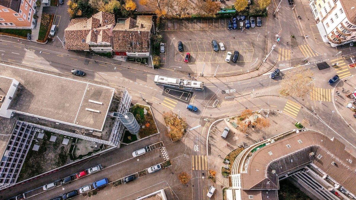
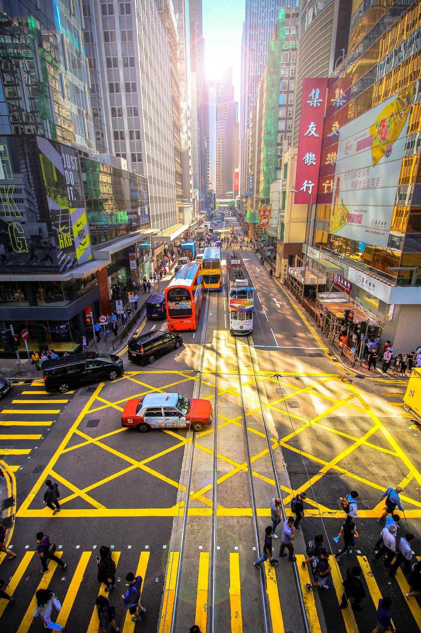
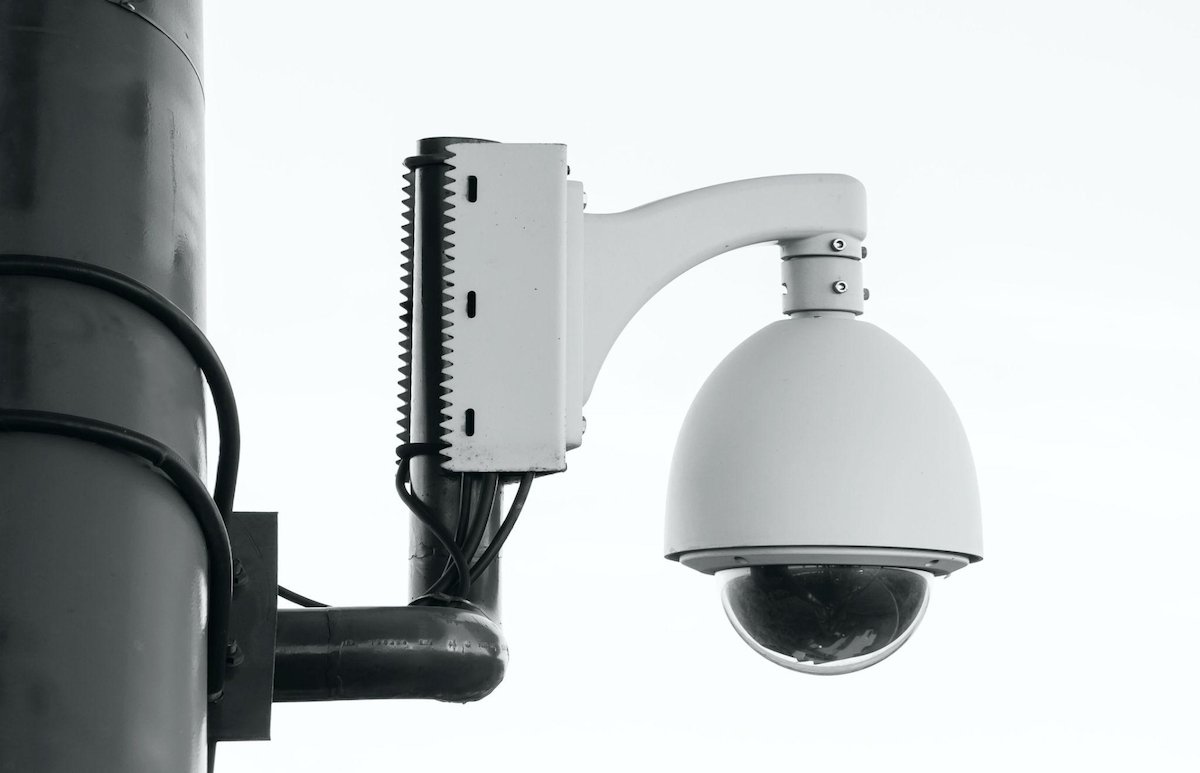
Placed at problematic points such as crossroads, traffic circles, main traffic axes, safety-relevant road segments, or region-wide, cameras act as traffic sensors and automatically monitor the transportation situation 24/7. Parquery’s smart computer algorithms analyze the video data and provide a powerful tool for traffic analysis and incident detection.
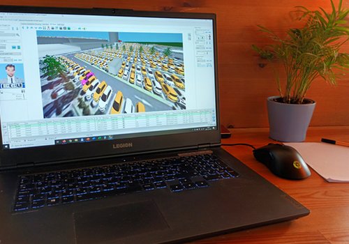
Visually measure the traffic flow with intelligent cameras placed overhead. Parquery’s innovative Artificial Intelligence lets you transform any camera into a powerful traffic analysis tool far beyond a conventional traffic counter.
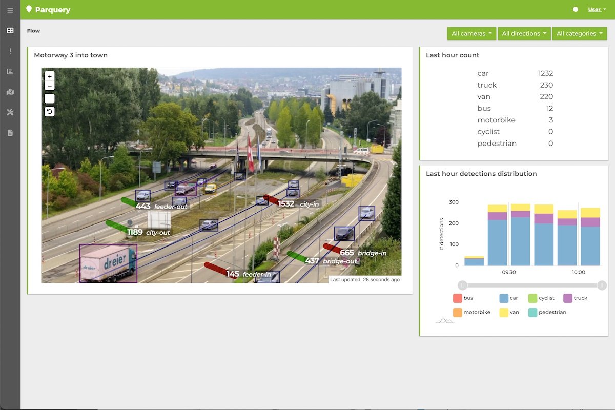
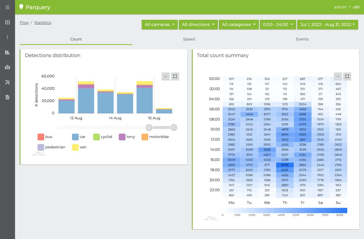
From monitoring a single hazardous intersection, traffic circle, or road section to mapping a regional traffic network - Parquery’s modular camera-based solution sheds light on traffic load and driver behavior. Obtain comprehensive monitoring of traffic volume, flow, distribution, and modalities over time and geographically.
Distinguish road user categories (e.g. trucks and lorries, buses and coaches, passenger cars, motorbikes, cyclists, and pedestrians) in images and videos in real-time and convert their movement and trajectories into actionable data.
Cope with the daily chaos.
Save lives.

Make policies based on evidence, foster change, and make the city more liveable.

Improve compliance with road laws.

Make sure that traffic infrastructure and technical equipment runs smoothly.

We strictly comply with the General Data Protection Regulation (GDPR) as well as the Swiss Federal Act on Data Protection (FADP).
Our dedicated data protection page explains how and which options are available.
Our software can run on-premise, at the edge, or on Parquery’s cloud servers. Find out more about server options.

In collaboration with Hyrde and Vialis, Parquery has been monitoring a problematic intersection with dense traffic and high crash risk in the Netherlands. The primary goal was reducing accidents and automatically alerting officers of incidents, such as of driving behavior associated with crash risks.
Additionally, the data is used as evidence for policy changes. The conclusion of continuous assessment and a dedicated test day where volunteers and stakeholders put the system through its paces instill confidence.
With existing techniques, it is difficult to obtain reliable data. This new way of gathering data and detecting incidents allows us to adjust policies and make the roads safer.

More information on the project at our partner's website Vialis

Our main office is located in Geerenweg 2, CH-8048 Zurich, Switzerland
info [at] parquery.com
+41 44 501 39 19 (8:30am - 5:30pm CET)
Upon receiving your request, we will get back to you shortly.